 |
| Aquatic life off Poor Knights Islands |
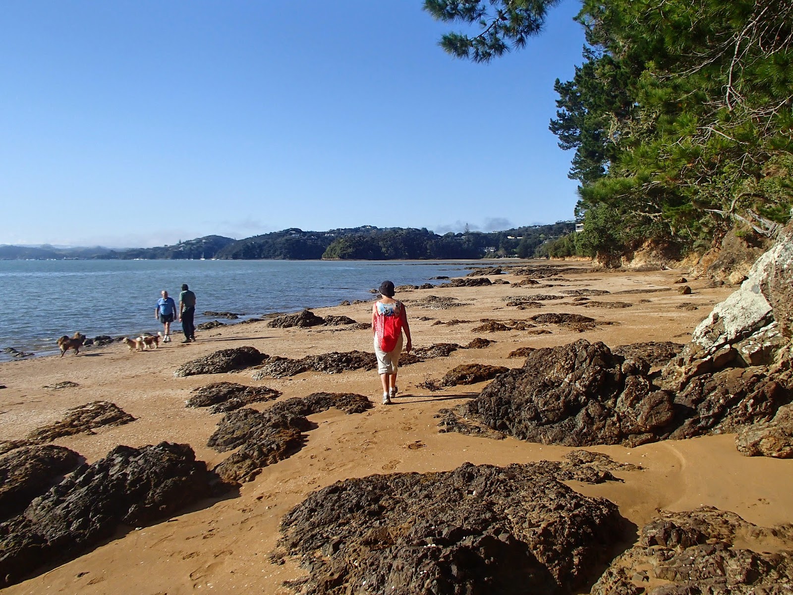
First stop was an old school friend of Marg's, settled in a cliff top house on the Whangaparaoa peninsula. Helen and Jim had a great view north, fishing and swimming from the beach below their house, but Jim's road cycling group are finding that their morning rides are becoming more less enjoyable as they coincide with the commuter congestion.
We went on to visit Bob and Helen, who have for years pursued a nomadic lifestyle (perhaps due to Bob's former existence as a sea captain) and have gone from a comfortable Remuera town house to pioneering a lifestyle block near Warkworth. We got a tour of the house site - well chosen in the shelter of a hill to the north, but not so high as to block the winter sun, covenanted block of native forest blocking the prevailing westerlies, and a restful view south up a rural valley.


We had arranged a trip out to Poor Knights islands with Dive! Tutukaka. Poor Knights, about an hours boat run off the coast, is a cluster of pinnacles, with steep rock faces dropping straight into the sea, and currents connected with the Australian coast that result in occasional geographically confused tropical fish enhancing the fishlife of the marine reserve, making it a mecca for divers and snorkelers

Once we'd arrived off the Poor Knights, in a sheltered spot by Rikoriko cave, the Mollymawk went on its way to a clicking of iPhones, and we donned heavy duty hoods, vests and wetsuits (OK, the warmth of the water is relative - it was still spring) and splashed in to a watery world of clouds of fish. The buoyancy of the wetsuits meant we couldn't dive, but the views as we explored along the edge of the cliffs was amazing. You could explore up narrow channels into the rock face, turning back to see the clouds of fish silhouetted around the entrance.


Then we went back in for another spell of snorkelling, and I lost track of time, entranced by sights such as a green sea snake wending it's way through the seaweed, and was the last back on board the boat before running back to Tutukaka.
We'd ran out of friends to visit, but Paihia had plenty of motel vacancy signs, and the Outrigger seemed as good a choice as any.
One reason for visiting the Bay of Islands was the Twin Coast Cycle Trail - one of the Nga Haerenga cycle trails. It's not yet complete, and I'd found varying information on how much was open. We decided to start from Opua, where the trail starts in the back of the shipyards, and see what happened. The gravel trail up the Kawakawa inlet was fine as was the weather. The rail lines have been retained under the gravel, and sometimes emerge to keep cyclists alert. At Taumarere bridge the cycle path clipon had just been completed so we could bike across what is supposedly the longest curved rail bridge in NZ - though I'd have thought Hapuawhenua rail viaduct near Ohakune was longer. On the other side, a group of rail enthusiasts were having smoko in their boxcar that had been shunted through from Kawakawa, and confirmed that the plan was to extend the heritage rail line through to Opua - though it's not clear how this will coexist with the cycle trail.


We still had the afternoon, so decided to do the Kaikohe-Okaihau section as a vehicle swap - Marg dropped me at the Kaikohe end, drove around to Okaihau, and we passed in the middle. This section has been established for some time, and follows the route of the Okaihau express, immortalised by 1950s folk singer Peter Cape. There are good informational signs, a tunnel long enough not to be able to see the other end, small mountain bike tracks branching off the main route, and a good view of Lake Omapere, where "The fireman takes the bucket, the driver takes a swim".

We made it to Russell and settled down at a waterfront cafe. Breathless cellphone calls brought the news that the auction of my mothers house in Auckland confirmed the inflated state of the Auckland property market, and that we could probably afford to splash out on an extra cake and coffee.

Had I been tempted by moving to the winterless north? When I got back to Wellington I collected the folding bike, put it on a luggage trolley, found a taxi and loaded the bike in. When I turned around, the luggage trolley was being blown by the gale towards Cook Strait. It was good to be back to a place with real weather.
More photos of the trip on Flickr...
